Bandarban is the most mountainous district in Bangladesh and the base for almost all serious trekking in the country. Ridges run north to south in long parallel folds, cloud sits in the valleys until mid-morning, and the villages on the slopes belong to Marma, Mro, Bawm, Tripura, Chakma and other communities, each with their own language, dress and customs.
This is a genuinely different country from the delta. Houses stand on stilts, rice grows on terraces rather than flooded plains, and the language on the bus is as likely to be Marma as Bangla.
It is also the most regulated destination on this list, and that is not a formality. Foreign visitors need permission from the district administration and a registered local guide, some routes are closed outright, and the rules change with the security situation. Plan it through an operator, well ahead, and build slack into your dates.
Viewpoints and the easy version
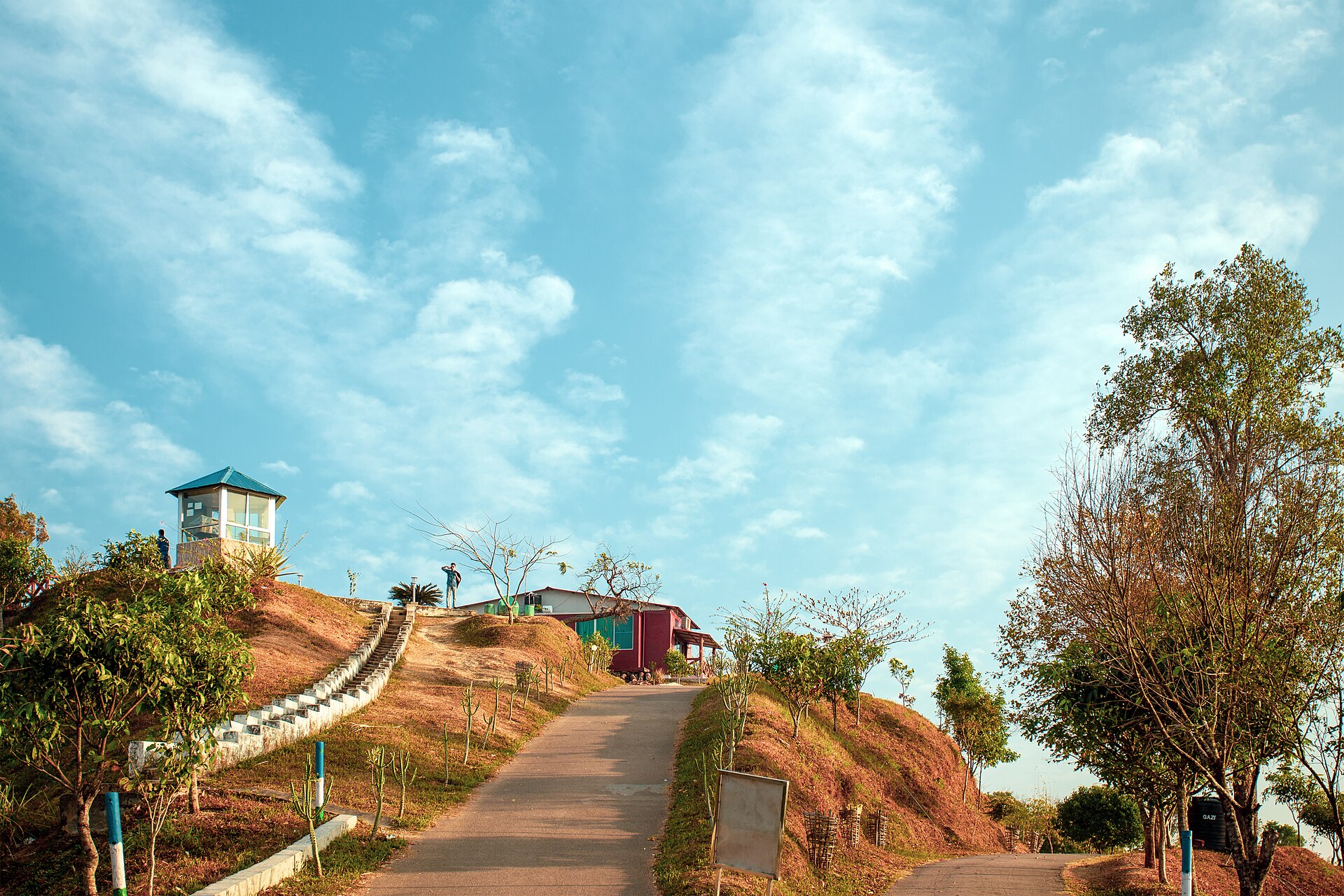
If you have two days and no appetite for a trek, Bandarban still delivers. Nilachal is fifteen minutes from town on a hilltop above the Sangu valley, and on a clear morning the whole valley is under cloud with the ridges standing out of it. Nilgiri, at around 2,200 feet, sits above the cloud line at dawn and is the single most photographed spot in the hill tracts — the resort at the top is army-run, and the sunrise is the reason people stay overnight.
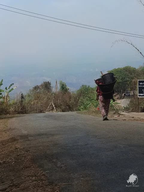
Chimbuk ridge lies on the road between them, with Mro villages on the slopes either side and roadside stalls selling fruit and hill-grown coffee.
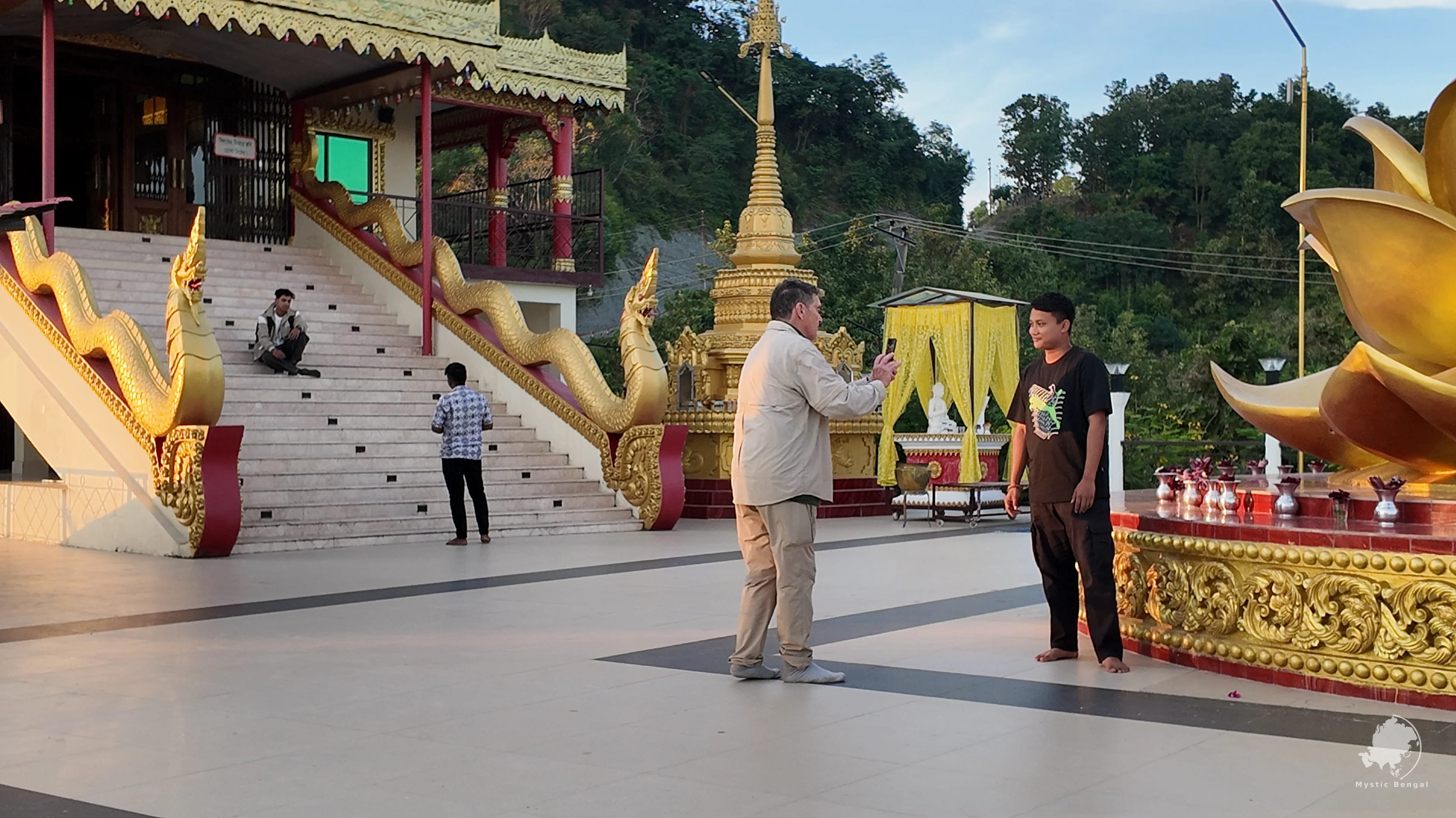
The Sangu river, Shoilo Propat waterfall and the Buddha Dhatu Jadi — the golden temple above the town, the largest Theravada Buddhist temple in Bangladesh, with a Burmese-style stupa you climb steps to reach — fill the rest of an easy itinerary. None of it needs walking boots.
Trekking country
The serious walking is further south and east, beyond Ruma and Thanchi: Keokradong, Tazing Dong, the crater lake at Boga, and the Nafakhum and Remakri falls on the Sangu. These are multi-day trips on rough, steep, often unshaded trails, sleeping in village guesthouses on the floor, washing in streams. They are also the best days you can have in Bangladesh.
Nothing here works without a registered guide and current permissions, and both are checked at army posts along the way. Distances look short on a map and take twice as long as you expect, because the trails go straight up and straight down rather than around.
Routes open and close with little notice, sometimes days before you arrive. Any operator promising a fixed itinerary months ahead without a permit check is not being straight with you — a good one will give you a plan and a fallback, and will tell you plainly if the answer this season is no.
- Boga Lake — a natural crater lake reached on foot from Ruma
- Keokradong — among the highest accessible summits in the country
- Nafakhum — the widest waterfall in Bangladesh, reached by boat and on foot from Thanchi
Visiting hill communities respectfully
The villages you pass through are homes, not attractions. People are used to walkers coming through and are generally welcoming, but that welcome is not owed to you.
Hire guides and porters from the communities you are visiting, buy food, water and handicrafts locally rather than carrying everything in, and pay the going rate without haggling it down — the sums involved are small to you and not to them. Ask before photographing anyone, particularly women and children, and accept a no without argument.
Accept, too, that some places will simply be off limits. The hill tracts have a long and unresolved history of conflict and displacement, and the restrictions you find irritating exist for reasons that have very little to do with tourism. That is the price of visiting, and it is a small one.
Bandarban in pictures
Things to do in Bandarban
Sunrise at Nilgiri
Stay overnight on the ridge or leave town at 4am; the cloud sea below the summit is the reason people come.
Nilachal viewpoint
A short drive from town for sunset over the Sangu valley.
Boga Lake trek
A two to three day trip from Ruma to a crater lake at altitude, with village stays.
Nafakhum waterfall
Boat up the Sangu from Thanchi, then walk to the widest falls in the country.
Buddha Dhatu Jadi
The largest Theravada Buddhist temple in Bangladesh, on a hill above Balaghata.
Sangu river boat ride
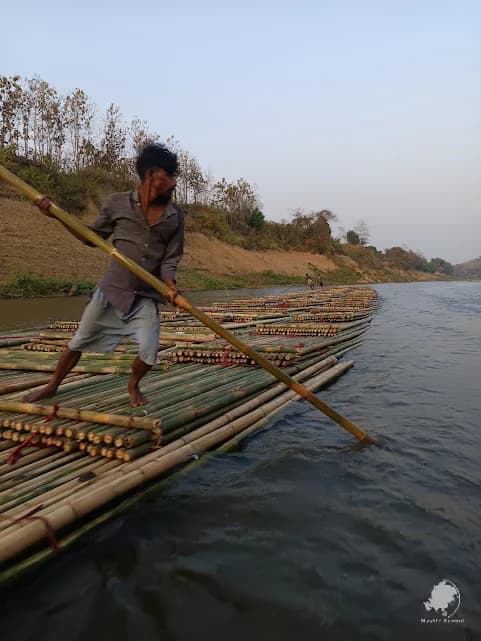
A country boat between hill villages, and the main road for much of the district.
Best time to visit
October to March. Clear skies, firm trails, cool nights and cloud in the valleys at dawn. September and October are greenest after the rains.
Ideal months
When to avoid: June to August. Landslides close hill roads, trails become dangerous and boat travel on the Sangu is restricted.
- Nights on the ridges are genuinely cold in December and January.
- Permit processing does not run at weekends or on public holidays — build that into your dates.
How to get there
Dhaka to Chattogram by air, then road1 hour flight + 3 hours
Fly to Chattogram, then drive southeast into the hills. The quickest route.
Dhaka by night coach9–10 hours
Direct air-conditioned coaches run overnight from Dhaka to Bandarban town.
From Chattogram3 hours
Bus or private car; the road climbs steadily once you leave the plain.
Within the district
Chander Gari jeeps and country boats. Distances are short but slow.
Travel tips
- Foreign travellers need district administration permission and a registered guide — allow several working days.
- Carry your passport; there are army checkposts on the main roads and your details will be recorded.
- Some trekking routes are closed to foreigners regardless of permits. Ask before you book flights.
- Take cash. ATMs exist in Bandarban town and nowhere useful beyond it.
- Pack a warm layer, a torch and a power bank — village electricity is intermittent.
- Hire porters and guides from the communities you walk through.
Nearby attractions
Rangamati
4 hours
Kaptai Lake, the hanging bridge and Chakma culture, north through the hills.
Read the guideChattogram
3 hours
The port city and gateway to the hill tracts.
Cox's Bazar
5 hours
The coast, an easy add-on after the hills.
Read the guideBandarban: common questions
Do foreigners need a permit for Bandarban?
Yes. Foreign visitors need permission from the district administration and must travel with a registered local guide. Some areas remain closed to foreigners entirely. Applications take several working days and are handled by your tour operator.
Is Bandarban safe for tourists?
The main tourist areas — Bandarban town, Nilachal, Nilgiri, Chimbuk — are routinely visited and safe with a guide. Remote areas can close at short notice, and checkposts are part of travel here. Follow your guide and the local rules.
What is the best viewpoint in Bandarban?
Nilgiri, for the cloud sea at sunrise from around 2,200 feet. Nilachal is closer to town and better for sunset. Chimbuk sits between the two on the same road.
How hard is the trekking?
Harder than most visitors expect. Trails are steep, humid and unmarked, days run six to eight hours, and accommodation is basic village housing. Reasonable fitness and a good guide are both essential.
Where to go next
Chattogram Division
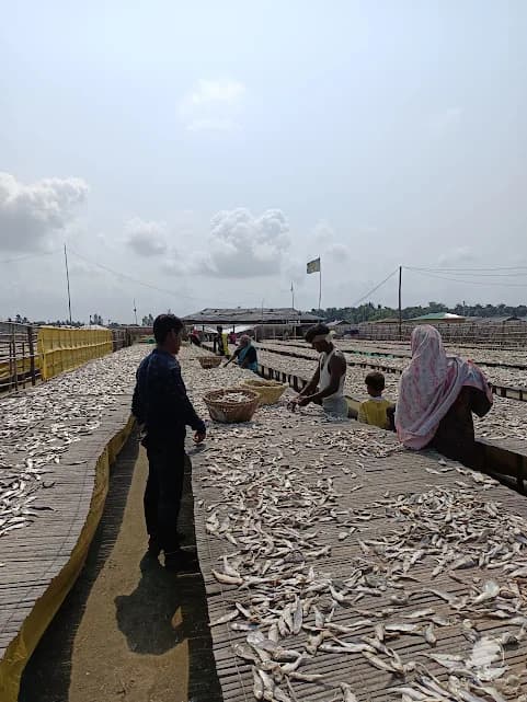
Cox's Bazar
The longest natural sea beach in the world — 120 kilometres of unbroken sand, best experienced away from the crowded main strip.
Chattogram Division
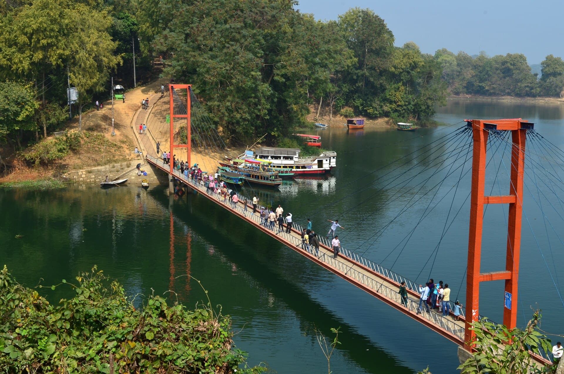
Rangamati
A lake town in the hills, built around the vast Kaptai reservoir, with hanging bridges, boat villages and Chakma culture.
Khulna Division
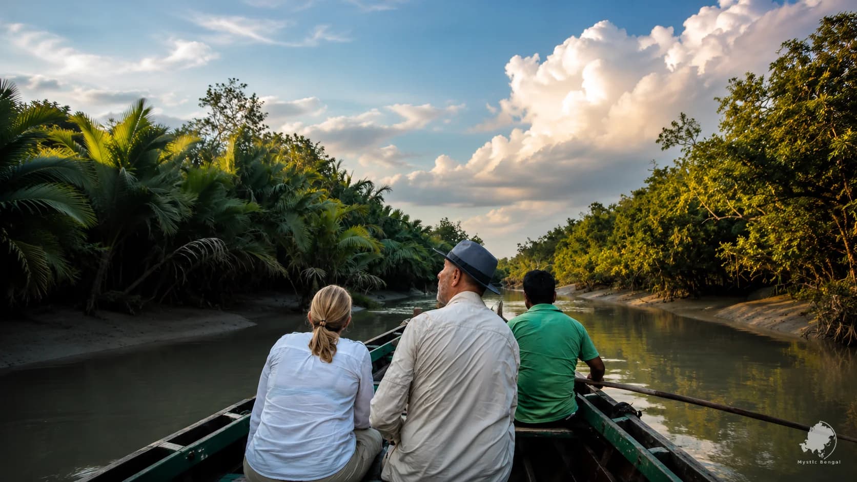
The Sundarbans
The largest mangrove forest on earth, and the only one where tigers swim between islands. Three nights on a live-aboard boat is the way to see it.
Travel to Bandarban with a local team
We handle permits, transport, guides and the timing that makes the difference between a good trip and a wasted one.
Sources and further reading
- Bandarban District — Wikipedia
- Chittagong Hill Tracts — Wikipedia